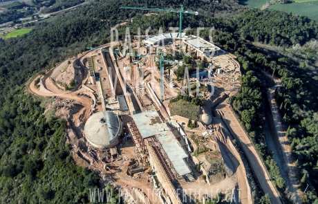
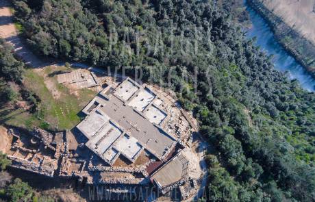
Photographic documentation of the historical heritage
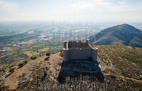
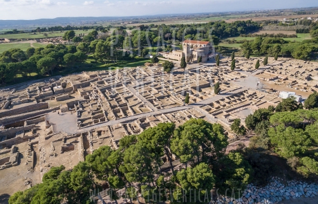
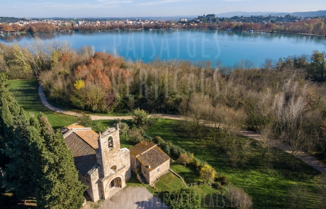
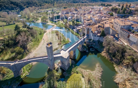
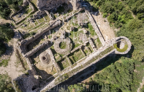
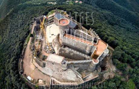
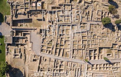
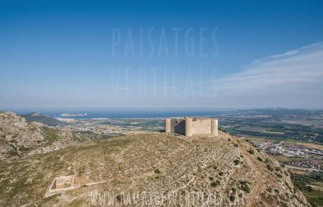
Aerial photographic reports of monumental groups, archaeological ruins or historical properties, either for the tourist promotion of the architectural complex, either for the graphic documentation in reconstruction projects, archaeological projects, heritage transmissions, etc.
We can make three-dimensional maps of monuments, ruins, etc. or collaborate in archaeological studies locating changes of temperature or humidity in the soil with multispectral cameras.
Visit also the Services section to see other types of images and the rest of our services. And in the gallery of recent works you can see the most significant works that we are doing.
You can contact with us to request more information or a quote without commitment. Or visit the Rates page to see the approximate cost of your project without need to contact us right now.

